Home

Welcome to my website! This is my homepage, where you can learn more about me. You can explore my profile, view my portfolio, and find out how to contact me.

For portfolio app demos and any other inquiries, use the contact form.

About me

I am a Geomatics (GIS) professional and online mapping application developer with sixteen years of experience at the United Nations, including seven years as an international civil servant overseeing information management and geographic information systems. Currently based in Canada, I am continuing my research in applied geomatics, specifically focusing on the development of online mapping applications.

Profile

AREAS OF EXPERTISE

  • Full Stack Cartographic Online Application Developer
  • Geographique Information System (GIS)
  • Information Management
  • Project Management
  • Humanitarian Demining

PROPOSED SOLUTIONS

  • Accessibility analysis of essential services (health, education, etc.)
  • Optimization of routes for waste collection, etc.
  • Study of optimal location for a new service (hospital, school, shopping center, etc.)
  • Guidance of persons to the nearest services (school, ophthalmology, dentistry, surgery, etc.)
  • And others.

SKILLS

  • Geographic Information System: ArcGIS 10.x, QGIS, ArcGIS Pro, ArcExplorer, Google Earth, ArcGIS online, Geoserver, Leaflet, OpenLayers.
  • Database: Access, MySQL, PostgreSQL, Oracle SQL Developer, SQL server, IMSMA NG & 6, IMSMA Core (IMSMA: Information Management System for Mine Action www.gichd.org/en/imsma-core ), Google BigQuery.
  • Business Intelligence: ESRI Operations dashboard, Power BI,  Google Data Studio, Dundas BI, MINT, Tableau.
  • Programming languages: SQL, HTML, CSS, XLS form, JavaScript, Python.
  • Microsoft tools: MS Office suite, Windows Operating Systems.
  • Graphic design: Adobe Fireworks, Illustrator.
  • Server environments: Node.js/Express, Django.
  • Operating Systems: Windows & Windows Server, Linux Ubuntu OS.
  • Others: Visual Studio Code, VPS Cloud technologie, web tools (Dreamweaver), forms (ESRI Survey123, Kobo), content management system (WordPress, Joomla), Google suite tools (Google Analytics, Google cloud BigQuery),  Azure DevOps, Miro.

Portfolio

Selection

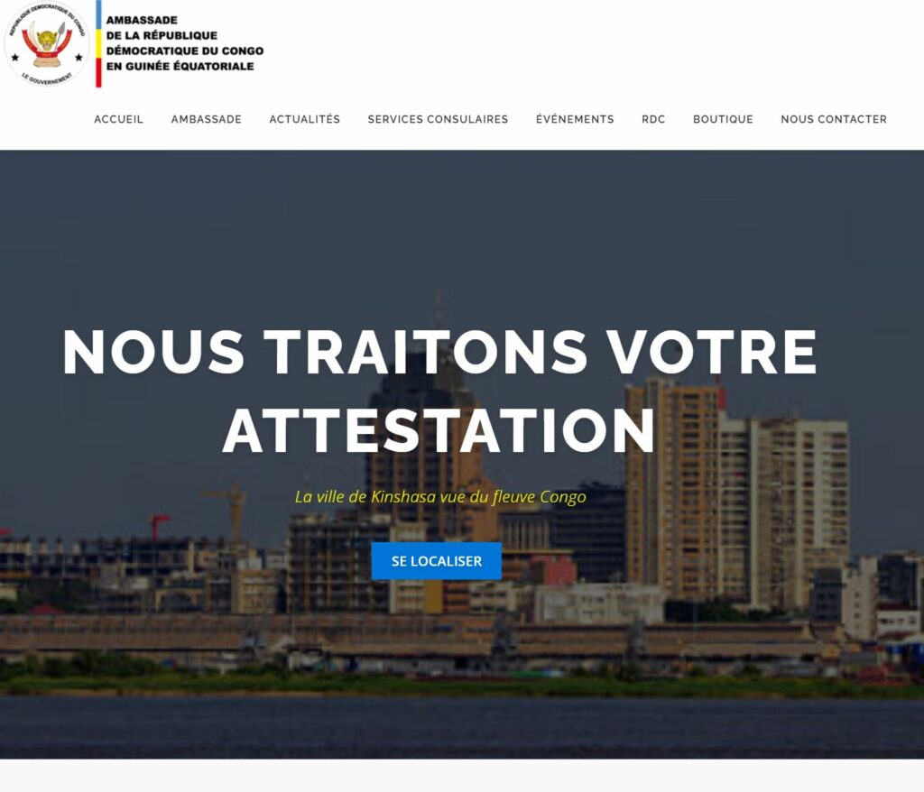
Institutional Website (including Mapping Management)

Geolocation and Risk Management Application

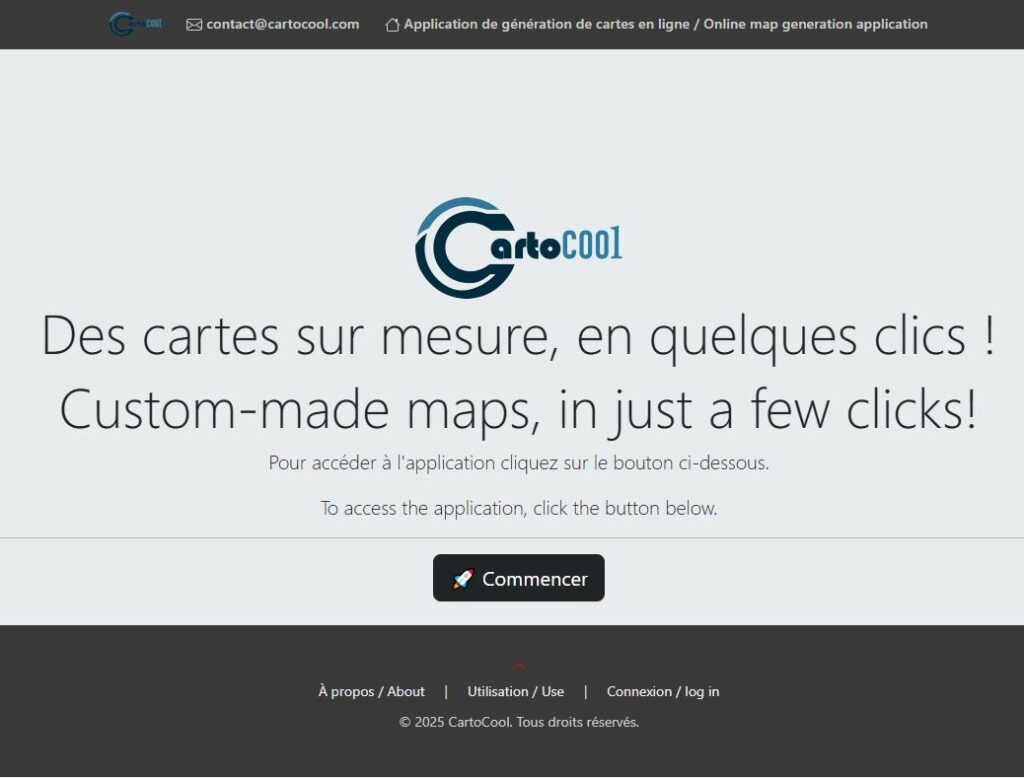
Online map generation application

Contact